COSMO-SkyMed: the ultimate SAR constellatio
- Résolution: 0.5 m to 100 m depending on modes and satellites
- Imaging swath: 10 x 10 km to 200 x 200 km depending on modes and satellites
- Mode: Spotlight, Stripmap, Pingpong, Quad Pol (only for CSGs), ScanSAR
- Revisit period: twice a day
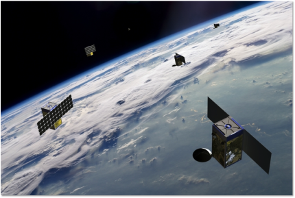
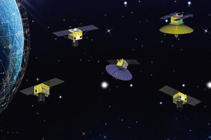
- Number: 3 CSKs and 2 CSGs
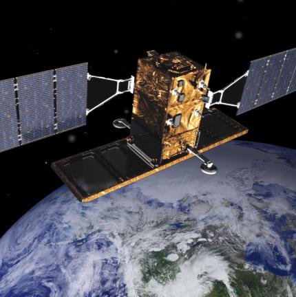
The COSMO-SkyMed constellation, or "COnstellation of small Satellites for the Mediterranean basin Observation" is an Italian Earth-imaging constellation consisting of four identical satellites launched between 2007 and 2010 and supplemented since 2019 by new second-generation satellites. The current constellation is composed of three first-generation satellites still in operation and two second-generation satellites.
The COSMO-SkyMed is funded by the Italian Space Agency and the Italian Ministry of Defence, and the constellation is at the forefront of technology, using high-resolution radar sensors to observe the Earth during the day and night, in all weather conditions.
This programme provides global data to support a wide variety of applications, including risk management, forestry and environmental protection, exploration of natural resources, land use management, defence and security, maritime surveillance, food and agriculture management.
The second-generation COSMO-SkyMed programme provides improvements and guaranteed continuity with the first-generation satellites, while maintaining the high-quality, high-precision characteristics required for interferometry activities.
The programme is funded by the Agenzia Spaziale Italiana (ASI), the Italian Ministry of Defence and the Italian Ministry of Education, Universities and scientific research. Thales Alenia Space is prime contractor in charge of building the satellites, while Telespazio provides the ground segment and related logistics, and e-GEOS, a subsidiary of the Telespazio group, has exclusive distribution rights for COSMO-SkyMed data worldwide.
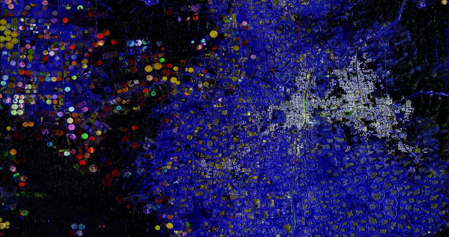
The COSMO-SkyMed satellite's payload is a multi-resolution, multi-polarized imaging radar working in X-band, with a broad range of resolutions (diverse resolutions, up to the best submetric on the commercial market). It is equipped with a fixed antenna, with electronic steering capabilities that can manage a large number of operative modes for image acquisition and internal calibrations.
> COSMO-SkyMed: download the constellation parameters
> Second-generation COSMO-SkyMed: download the constellation parameters