.png)
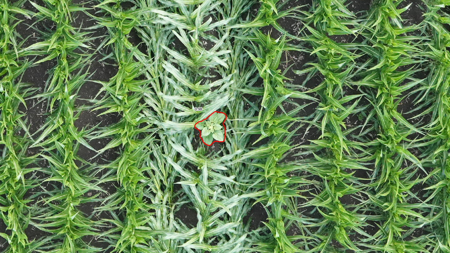
To support agro‑industrial players, storage organizations, technicians, and farmers in managing these risks, we developed GeoAdventice, a weed detection solution based on drone aerial imagery and artificial intelligence. With this system, infested areas can be precisely identified before harvest and treated in a targeted and specific manner.
GeoAdventice is now used across several sensitive sectors, including buckwheat, corn (popcorn, waxy, silage, sweet), sunflower, quinoa, industrial and leafy vegetables, and parsley—where the presence of weeds such as jimsonweed, black nightshade, thistle, ragweed, dock, or dodder can have major sanitary and economic consequences.
In parallel, our GeoCleanCrop service helps identify foreign bodies present in crops right after sowing and/or before harvest: plastics, stones, or residual vegetation. This is an essential tool for securing the production chain, particularly for leafy and root vegetables, as well as aromatic plants.
Finally, the latest service deployed, GeoQualiSeed, enables the identification and geolocation of off‑type sunflower plants in seed‑production fields, as well as volunteer sunflowers within a 900‑meter radius around production plots.
Following a successful 2025 campaign marked by high customer satisfaction, the 2026 season aims for large‑scale deployment :
- 50,000 hectares to analyze nationwide,
- 6 new drone operators recruited and onboarded to strengthen regional coverage,
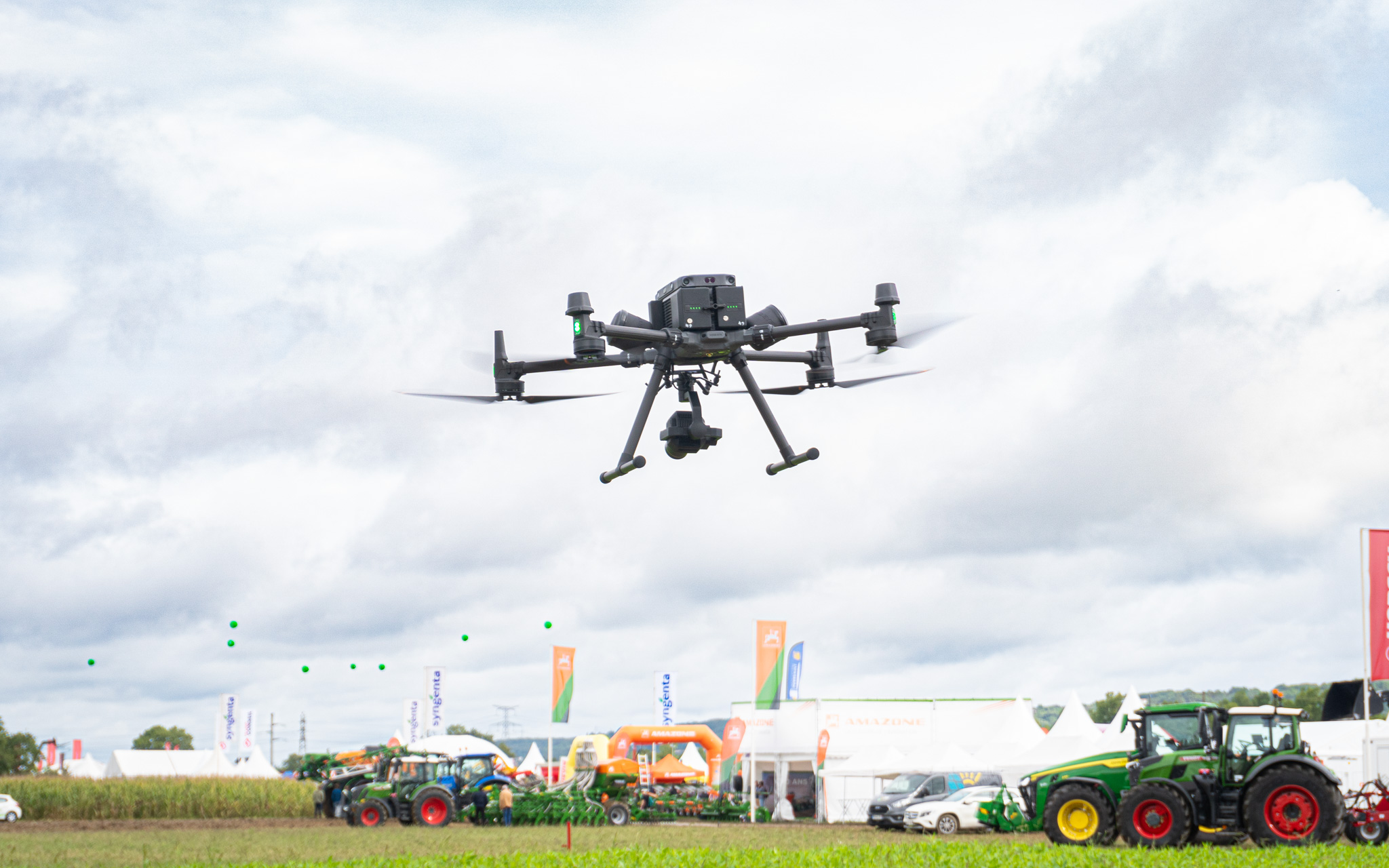
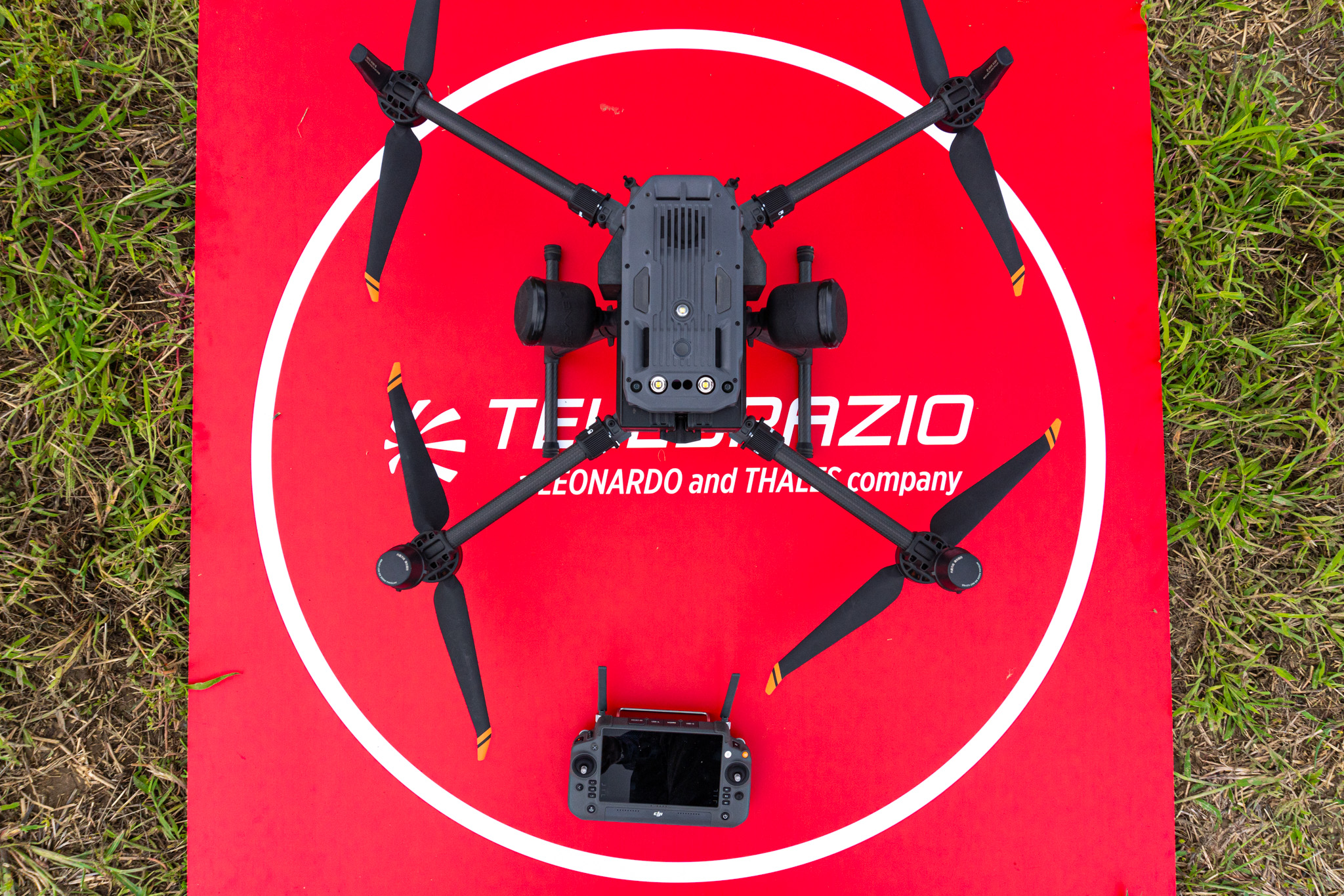
- Data captured using DJI M300/350 drones equipped with Sony ILX‑LR1 sensors (61 MP),
- Results delivered within an average of 1.7 days (across all services).
Organization & Complementarity
The success of this collaboration relies on:
- Smooth coordination between field, logistics, and data teams,
- A shared commitment to data quality and cartographic accuracy.
Shared Perspectives
“The entire INSTADRONE team delivered an excellent 2025 campaign, with agile operations and high‑quality data collection that enabled ultra‑fast delivery of our detection maps (1.7 days after the flight). We are delighted with this partnership established four years ago, which continues to grow with increasingly promising prospects.”
— Francis Jumel, Head of Agriculture Division – Telespazio France
“We are honored to provide Telespazio with the data essential for such an important service for our farmers. It is the complementarity between demanding fieldwork and Telespazio’s AI expertise that ensures the success of this service.”
— Cédric Botella, CEO – Instadrone Group
A Shared Trajectory Toward Reliable, Scalable Precision Agriculture
By combining remote sensing, artificial intelligence, and strong field presence, we are building a precision‑agriculture model deployable at scale. Thanks to automated analysis of drone‑captured imagery, teams can deliver actionable data quickly, with a high level of reliability.
The 2026 campaign—through its scope and ambition—illustrates a shared conviction: innovation matters only when it is operational, reproducible, and aligned with real agricultural needs.